PHOTOGRAMMETRY
Vugol Geospatial with fundamental applications in spatial analysis and decision-making, provides highly exactitude images with distances, areas, and geometric relationships within mapped areas. Advances in technology, Vugol Geospatial continue to enhance the accuracy and efficiency of these measurements; Supporting diverse fields from urban planning to environmental management.

Planimetric Measuring
Vugol Geospatial are with cartographers, urban planners, architect, civil engineers, and environmental sciences, where accurate representation and analysis of spatial data are crucial. Ensuring planimetric measurements are both accurate (closeness to the true value) and precise (reproducibility of measurements) our team are handy to provide you a reliable spatial analysis and decision-making planimetric data.
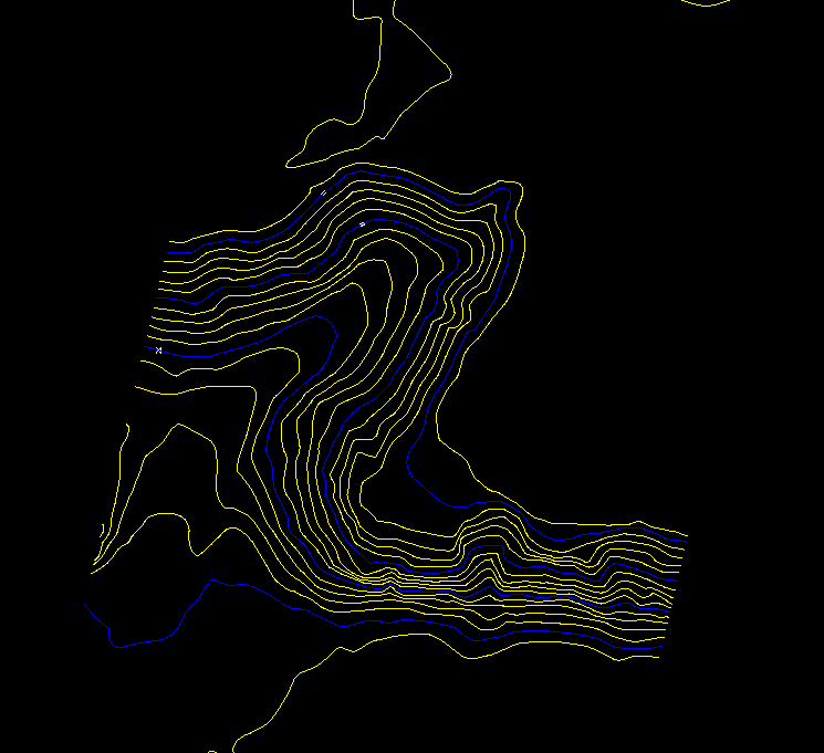
Contour Generations
Contour generation is a service offered by Vugol Geospatial that involves creating detailed contour maps, which represent the terrain's elevation and shape. This process uses geospatial data and advanced algorithms to produce accurate contour lines, essential for various applications such as land surveying, urban planning, construction, and environmental studies. Vugol Geospatial's contour generation helps in visualizing topographic features, assessing landforms, and planning infrastructure projects with precision, ensuring informed decision-making and efficient project execution.

Digital Surface Modeling(DSM)
Digital Surface Model (DSM) is a service offered by Vugol Geospatial that provides detailed 3D representations of the Earth's surface, including natural and man-made features. Using advanced remote sensing technologies, DSM captures the elevation and spatial information of the surface, which is essential for urban planning, infrastructure development, environmental analysis, and more. Vugol Geospatial's DSM services enable precise terrain analysis and visualization, supporting informed decision-making and effective project planning.
Digital Terrain Modeling(DTM)
Digital Terrain Model (DtM) is a service offered by Vugol Geospatial that provides a 3D representation of the bare Earth's surface, excluding vegetation, buildings, and other surface features. This model is crucial for applications in hydrology, geology, urban planning, and infrastructure development, as it accurately represents terrain elevations and natural landforms. Vugol Geospatial's DtM services help in detailed terrain analysis, flood risk assessment, and site planning, enabling clients to make informed decisions and optimize project outcomes.

Orthophoto
Orthophoto is a service offered by Vugol Geospatial that involves producing geometrically corrected aerial photographs. These orthophotos accurately represent the Earth's surface, eliminating distortions caused by terrain relief and camera tilt. They are essential for creating accurate maps, conducting spatial analysis, and supporting applications in urban planning, agriculture, and environmental monitoring. Vugol Geospatial's orthophoto services provide high-resolution, true-to-scale images, enabling precise measurement and detailed visual assessment of geographic areas.